NZ Topo - object class cutting_edge
This page describe the cutting_edge object class used to represent objects in the NZTopo topographic database.
Description
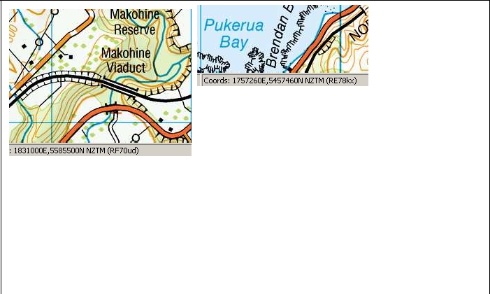
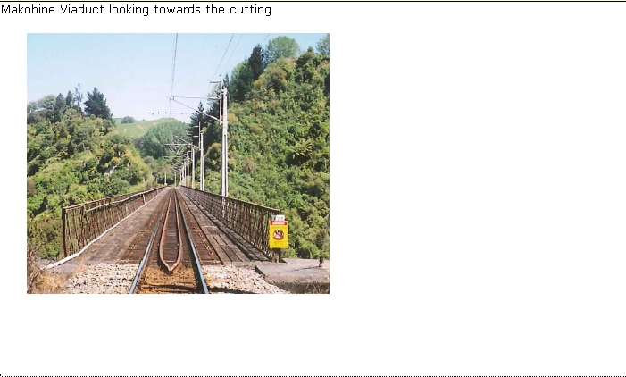
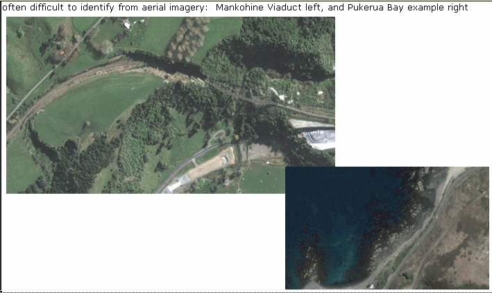
An excavation of the Earth's surface to provide passage for a road, railway, canal etc
Topo50 description
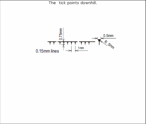
Only those significant either by their size or location are held in the data and shown on the printed maps. The line held in the data and shown on the printed maps represents the top of the cutting
Class attributes
| Attribute | Value |
|---|---|
| Object class | cutting_edge |
| Entity class | CUTTING |
| Additional entity class | Not applicable |
| Object inheritance | simple_line |
| Entity source | US Standard Entity |
| Map series | Topo50 |
| LSLIFF object class | 27 |
Object attributes
This object class does not have attributes.
Change log
| Feature version | Revised | Description |
|---|---|---|
| 4 | 2012-08-28 | Updated map image and aerial view; added representation specification and example feature photographs |
| 3 | 2012-08-28 | Added scale-specific definitions |
| 2 | 2001-11-23 | Unspecified update |
| 1 | 1999-03-01 | intial status |