NZ Topo - object class ferry_crossing_cl
This page describe the ferry_crossing_cl object class used to represent objects in the NZTopo topographic database.
Description
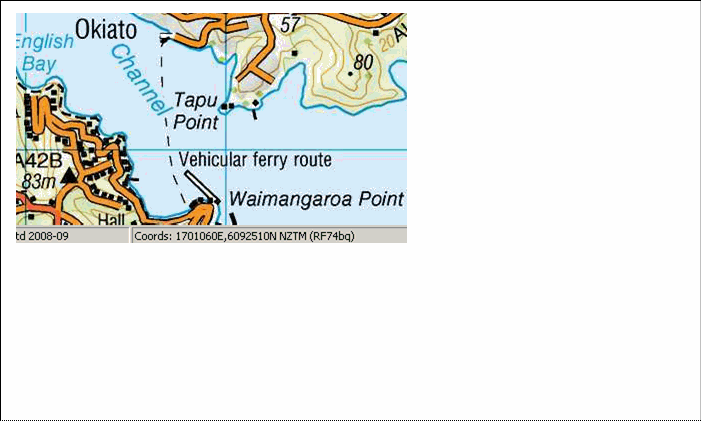
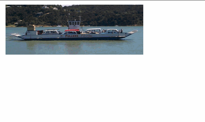
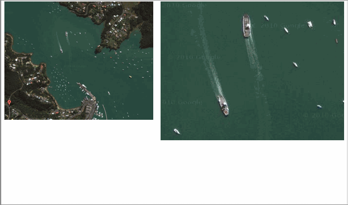
Apath that a ferry follows in passing to and fro
Topo50 description
Only a few ferry crossings are held in the data and shown on the printed maps. Generally these are car ferries that link smaller settlements only. The Interislander routes linking the North and South Islands are not held in the data or shown on the printed maps
Class attributes
| Attribute | Value |
|---|---|
| Object class | ferry_crossing_cl |
| Entity class | LANE |
| Additional entity class | Not applicable |
| Object inheritance | simple_line |
| Entity source | US Standard Entity |
| Map series | Topo50 |
| LSLIFF object class | 39 |
Object attributes
This object class does not have attributes.
Change log
| Feature version | Revised | Description |
|---|---|---|
| 5 | 2012-08-28 | Updated map image and aerial view; added representation specification and example feature photographs |
| 4 | 2012-08-28 | Added scale-specific definitions |
| 3 | 2010-07-06 | Object class name changed |
| 2 | 2001-11-23 | Unspecified update |
| 1 | 1999-03-01 | intial status |