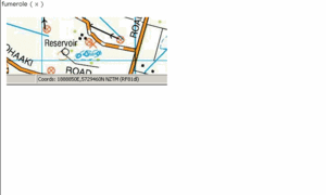
NZ Topo - object class fumarole_pnt
This page describe the fumarole_pnt object class used to represent objects in the NZTopo topographic database.
Description
A hole in the Earth's crust from which steam and gases are emitted
Topo50 description
Fumeroles were originally captured by surveyors in the field. As they are not always visible on imagery, these features are left unchanged unless more current information becomes available.
See also: geo_bore_pnt
Class attributes
| Attribute | Value |
|---|---|
| Object class | fumarole_pnt |
| Entity class | FUMAROLE |
| Additional entity class | Not applicable |
| Object inheritance | graphic_point |
| Entity source | US Standard Entity |
| Map series | Topo50 |
| LSLIFF object class | 45 |
Object attributes
This object class does not have attributes.
Change log
| Feature version | Revised | Description |
|---|---|---|
| 4 | 2012-08-28 | Updated map image and aerial view; added representation specification and example feature photographs |
| 3 | 2012-08-28 | Added scale-specific definitions |
| 2 | 2001-11-23 | Unspecified update |
| 1 | 1999-03-01 | intial status |


