NZ Topo - object class historic_site_pnt
This page describe the historic_site_pnt object class used to represent objects in the NZTopo topographic database.
Description
A place where some historic activity has been conducted, or where some historic object is located.
Topo50 description
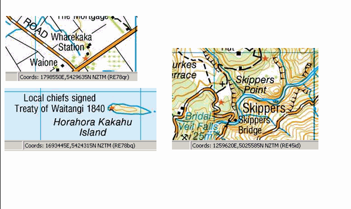
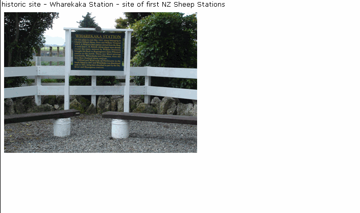
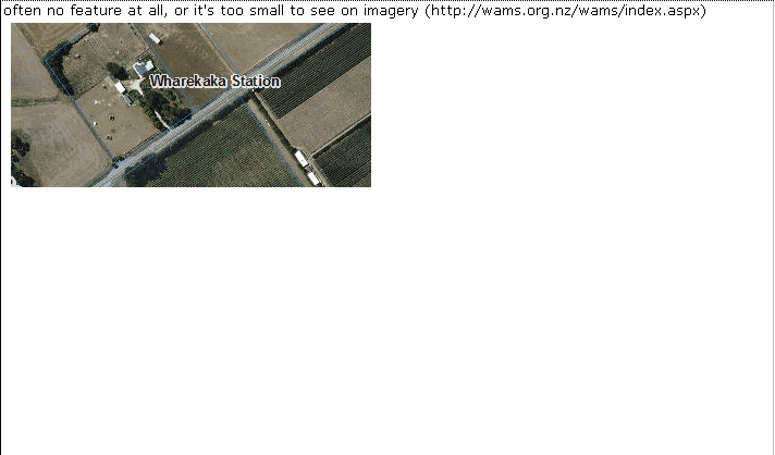
Only those significant either by their size or location are held in the data and shown on the printed maps. Historic sites were originally obtained from surveyors in the field, or from other sources. As they are not always visible on imagery, these features are left unchanged unless more current information becomes available. Historic sites within residential areas are not held in the data or shown on the printed map. A description of the historic site (where known) is held in the data, but shown on the printed map only where space permits. Some historic sites may have their own unique object class. They are: Pa_pnt - Maori pa (Historic only) Monument_pnt - Monuments (Historic only) Redoubt_pnt - European fortifications

See also: pa_pnt redoubt_pnt monument_pnt
Class attributes
| Attribute | Value |
|---|---|
| Object class | historic_site_pnt |
| Entity class | HISTORICAL SITE |
| Additional entity class | Not applicable |
| Object inheritance | graphic_point |
| Entity source | Proposed NZ Std Entity |
| Map series | Topo50 Ant50 |
| LSLIFF object class | 57 |
Object attributes
| Attribute | LSLIFF code Shapefile field Data type |
Attribute description | Attribute values* | |||
|---|---|---|---|---|---|---|
| historic_site_description | 1034 descriptn string |
|
||||
| UFID | 1000 t50_fid integer |
A unique identifier for use on Topo50 data in the LINZ Data Service. This is not a universal ID. The intention is to manage these ID’s as persistent, however this is not guaranteed and there will be instances where what appears to be a minor change to a feature may result in a new ID being assigned. |
|
* See explanation of attribute values for more information about how attribute values are represented.
Change log
| Feature version | Revised | Description |
|---|---|---|
| 5 | 2012-08-28 | Updated map image and aerial view; added representation specification and example feature photographs |
| 4 | 2012-08-28 | Added scale-specific definitions |
| 3 | 2010-03-01 | object class change |
| 2 | 2001-11-23 | Unspecified update |
| 1 | 1999-03-01 | intial status |