NZ Topo - object class mast_pnt
This page describe the mast_pnt object class used to represent objects in the NZTopo topographic database.
Description
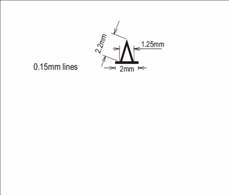
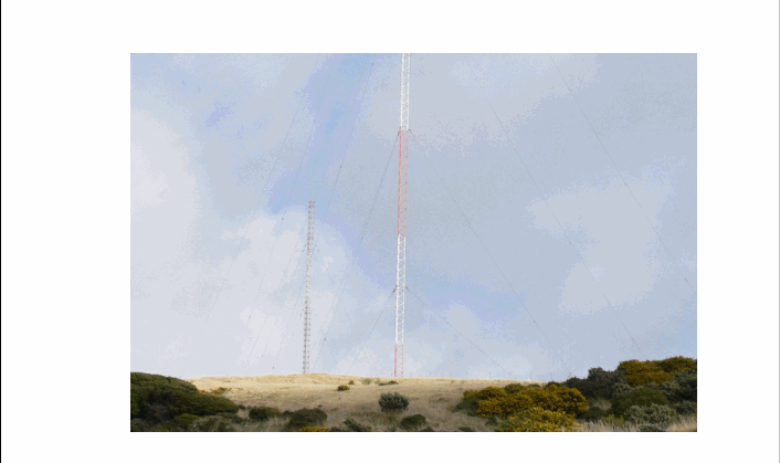
A vertical pole serving as an antenna or antenna support.
Topo50 description
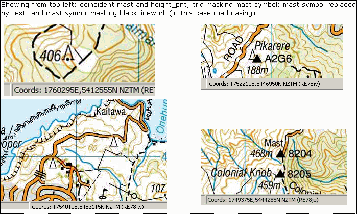
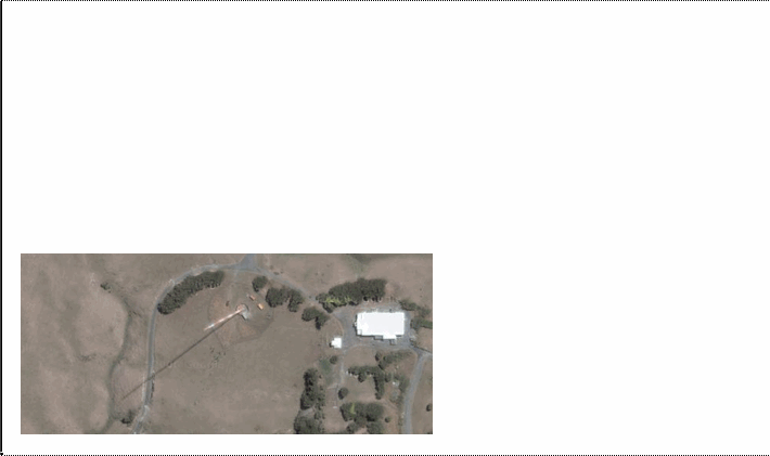
Only those significant either by their size (generally those over 10m) or location are held in the data and shown on the printed maps. Any in the CBD are not held in the data or shown on the printed maps. Note also that a single mast feature may represent one, two or a group of masts in close proximity. Where a mast is located close to a trig, the mast symbol is replaced on the printed map by the text 'Mast'
Topo250 description
Only those significant by their size or location are held in the Topo250 data and shown on the Topo250 printed maps; these are a generalised subset of those shown on the Topo50 series
Important information: Not all aerial wires, cableways and obstructions that could be hazardous to aircraft are held in the data or shown on the printed maps
Class attributes
| Attribute | Value |
|---|---|
| Object class | mast_pnt |
| Entity class | TOWER |
| Additional entity class | Not applicable |
| Object inheritance | graphic_point |
| Entity source | US Standard Entity |
| Map series | Topo50 Topo250 |
| LSLIFF object class | 75 |
Object attributes
| Attribute | LSLIFF code Shapefile field Data type |
Attribute description | Attribute values* | ||
|---|---|---|---|---|---|
| mast_height | 1050 height real |
The height of the mast in metres, where known |
|
||
| UFID | 1000 t50_fid integer |
A unique identifier for use on Topo50 data in the LINZ Data Service. This is not a universal ID. The intention is to manage these ID’s as persistent, however this is not guaranteed and there will be instances where what appears to be a minor change to a feature may result in a new ID being assigned. |
|
* See explanation of attribute values for more information about how attribute values are represented.
Change log
| Feature version | Revised | Description |
|---|---|---|
| 8 | 2012-08-28 | Updated map image and aerial view; added representation specification and example feature photographs |
| 7 | 2012-08-28 | Added scale-specific definitions |
| 6 | 2010-03-01 | removed attribute mast_use |
| 5 | 2005-06-30 | new attribute values for mast_use_2 |
| 4 | 2003-06-30 | Unspecified update |
| 3 | 2001-11-23 | Unspecified update |
| 2 | 1999-10-01 | updated data type, new attribute value |
| 1 | 1999-03-01 | initial status |