NZ Topo - object class mud_poly
This page describe the mud_poly object class used to represent objects in the NZTopo topographic database.
Description
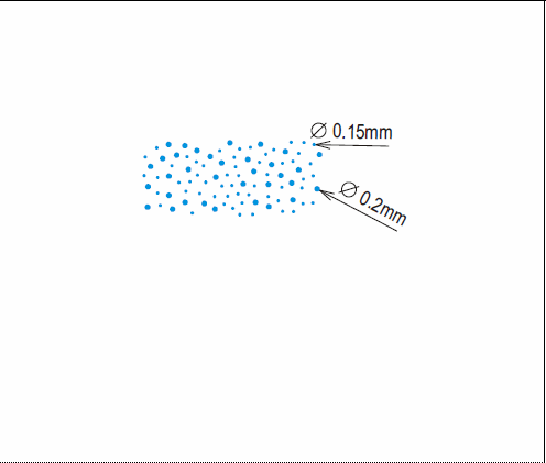
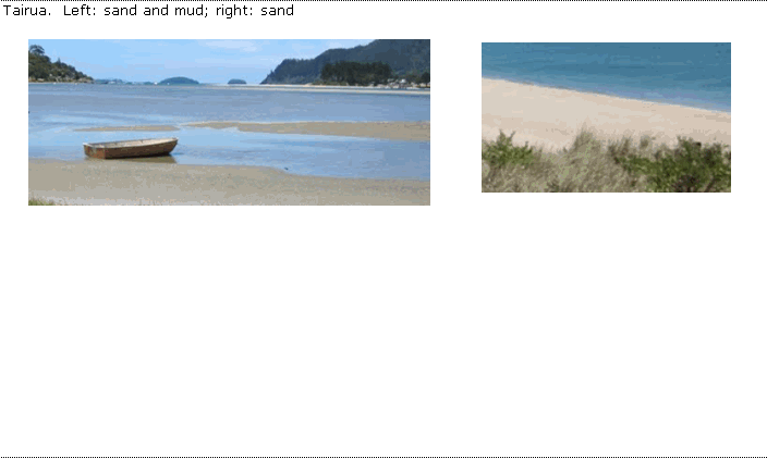
An area of wet, soft earthy matter
Topo50 description
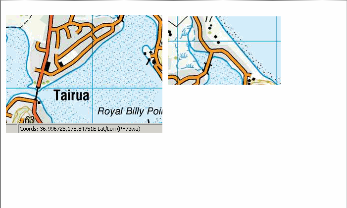
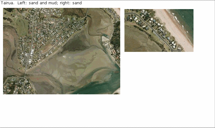
To keep the database in line with international entity specifications, the areas of 'sand and mud' will be captured using both sand and mud objects. Only those areas significant either by their size or location are held in the data and shown on the printed maps.
Topo250 description
Only those areas significant by their size or location are held in the Topo250 data and shown on the Topo250 printed maps; these are a generalised subset of those shown on the Topo50 series
See also: sand_poly
Class attributes
| Attribute | Value |
|---|---|
| Object class | mud_poly |
| Entity class | GROUND |
| Additional entity class | Not applicable |
| Object inheritance | simple_area |
| Entity source | Proposed NZ Std Entity |
| Map series | Topo50 Topo250 Topo500 |
| LSLIFF object class | 323 |
Object attributes
This object class does not have attributes.
Change log
| Feature version | Revised | Description |
|---|---|---|
| 5 | 2012-08-28 | Updated map image and aerial view; added representation specification and example feature photographs |
| 4 | 2012-08-28 | Added scale-specific definitions |
| 3 | 2008-04-10 | Removed reference to seed and void objects |
| 2 | 2001-11-23 | Unspecified update |
| 1 | 1999-03-01 | intial status |