NZ Topo - object class orchard_poly
This page describe the orchard_poly object class used to represent objects in the NZTopo topographic database.
Description
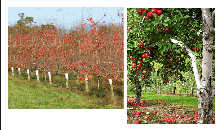
Vegetation defined as pip or stone fruit eg apples, apricots, olives etc
Topo50 description
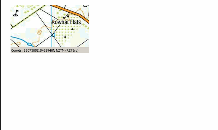
Only those areas significant either by their size or location are held in the data; orchards and vineyards are shown on the printed maps using the same representation. Infrastructure items within orchards and vineyards, such as frost fans, are not shown as a separate feature


See also: vineyard_poly
Class attributes
| Attribute | Value |
|---|---|
| Object class | orchard_poly |
| Entity class | CROPLAND |
| Additional entity class | Not applicable |
| Object inheritance | simple_area |
| Entity source | US Standard Entity |
| Map series | Topo50 |
| LSLIFF object class | 325 |
Object attributes
This object class does not have attributes.
Change log
| Feature version | Revised | Description |
|---|---|---|
| 6 | 2012-08-28 | Updated map image and aerial view; added representation specification and example feature photographs |
| 5 | 2012-08-28 | Added scale-specific definitions |
| 4 | 2010-03-01 | Updated object description |
| 3 | 2008-04-10 | Removed reference to seed and void objects |
| 2 | 2001-11-23 | Unspecified update |
| 1 | 1999-03-01 | intial status |