NZ Topo - object class rifle_range_poly
This page describe the rifle_range_poly object class used to represent objects in the NZTopo topographic database.
Description
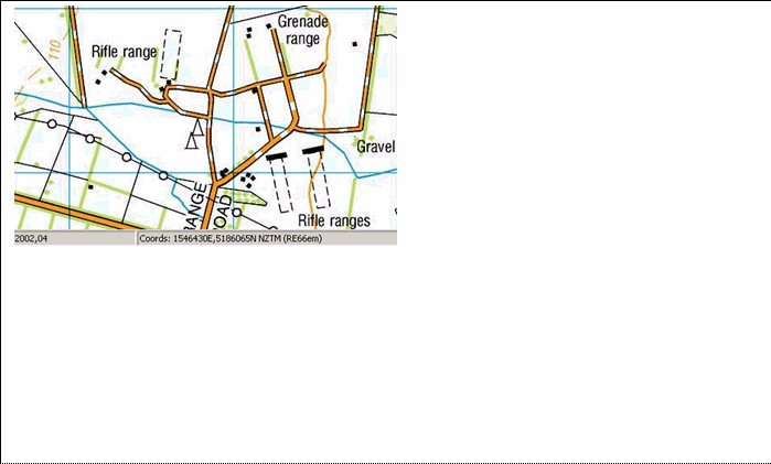
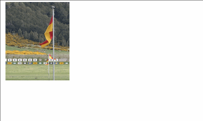
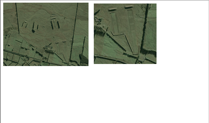
An area of land set aside for fire-arms practise
Topo50 description
Only those significant either by their size or location are held in the data and shown on the printed maps.
Class attributes
| Attribute | Value |
|---|---|
| Object class | rifle_range_poly |
| Entity class | RESTRICTED AREA |
| Additional entity class | Not applicable |
| Object inheritance | simple_area |
| Entity source | US Standard Entity |
| Map series | Topo50 |
| LSLIFF object class | 334 |
Object attributes
This object class does not have attributes.
Change log
| Feature version | Revised | Description |
|---|---|---|
| 5 | 2012-08-28 | Updated map image and aerial view; added representation specification and example feature photographs |
| 4 | 2012-08-28 | Added scale-specific definitions |
| 3 | 2008-04-10 | Removed reference to seed and void objects |
| 2 | 2001-11-23 | Unspecified update |
| 1 | 1999-03-01 | intial status |