NZ Topo - object class shelter_belt_cl
This page describe the shelter_belt_cl object class used to represent objects in the NZTopo topographic database.
Description
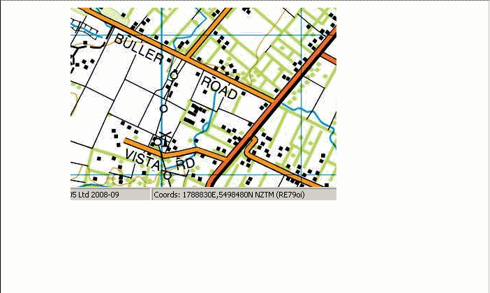
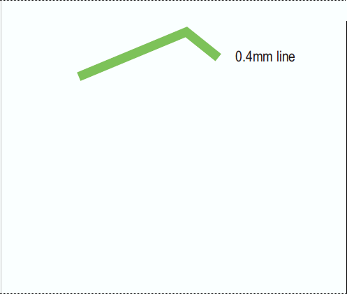
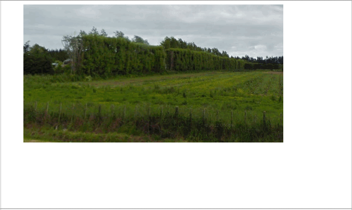
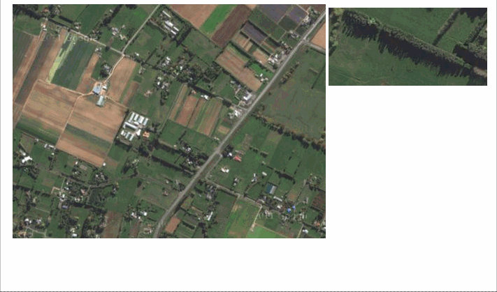
A line of trees which breaks or interrupts the force of the wind
Topo50 description
Not all shelter belts are held in the data and shown on the printed maps; short shelter belts are not captured. Where a shelter belt is located close to a road, points held in the data and shown on the printed maps may be offset from the road a distance of up to 30m.
Class attributes
| Attribute | Value |
|---|---|
| Object class | shelter_belt_cl |
| Entity class | SHELTERBELT |
| Additional entity class | Not applicable |
| Object inheritance | simple_line |
| Entity source | US Standard Entity |
| Map series | Topo50 |
| LSLIFF object class | 141 |
Object attributes
This object class does not have attributes.
Change log
| Feature version | Revised | Description |
|---|---|---|
| 5 | 2012-08-28 | Updated map image and aerial view; added representation specification and example feature photographs |
| 4 | 2012-08-28 | Added scale-specific definitions |
| 3 | 2010-07-06 | Object class changed |
| 2 | 2001-11-23 | Unspecified update |
| 1 | 1999-03-01 | intial status |