NZ Topo - object class river_poly
This page describe the river_poly object class used to represent objects in the NZTopo topographic database.
Description
A natural, flowing body of water emptying into an ocean, lake or other body of water and usually fed along it's course by converging tributaries.
Topo50 description
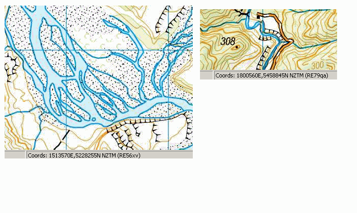
River_poly is used to capture a river where it is wide enough to be captured at 1:50,000 as an area feature
Topo250 description
Only those significant by their size or location are held in the Topo250 data and shown on the Topo250 printed maps; these are a generalised subset of those shown on the Topo50 series
See also: floodgate_pnt river_cl waterfall_poly rapid_poly
Class attributes
| Attribute | Value |
|---|---|
| Object class | river_poly |
| Entity class | WATERCOURSE |
| Additional entity class | Not applicable |
| Object inheritance | simple_area |
| Entity source | US Standard Entity |
| Map series | Topo250 Topo50 Topo500 |
| LSLIFF object class | 335 |
Object attributes
This object class does not have attributes.
Change log
| Feature version | Revised | Description |
|---|---|---|
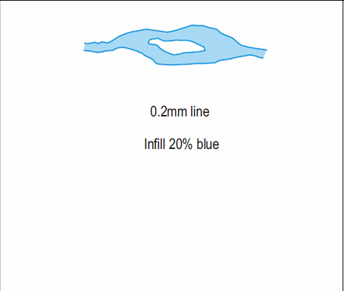
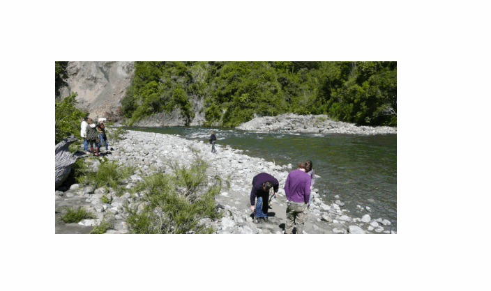
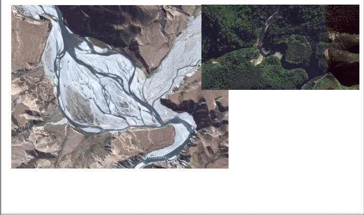
| 4 | 2012-08-28 | Updated map image and aerial view; added representation specification and example feature photographs |
| 3 | 2012-08-28 | Added scale-specific definitions |
| 2 | 2008-04-10 | Removed reference to seed and void objects |
| 1 | 1999-03-01 | intial status |